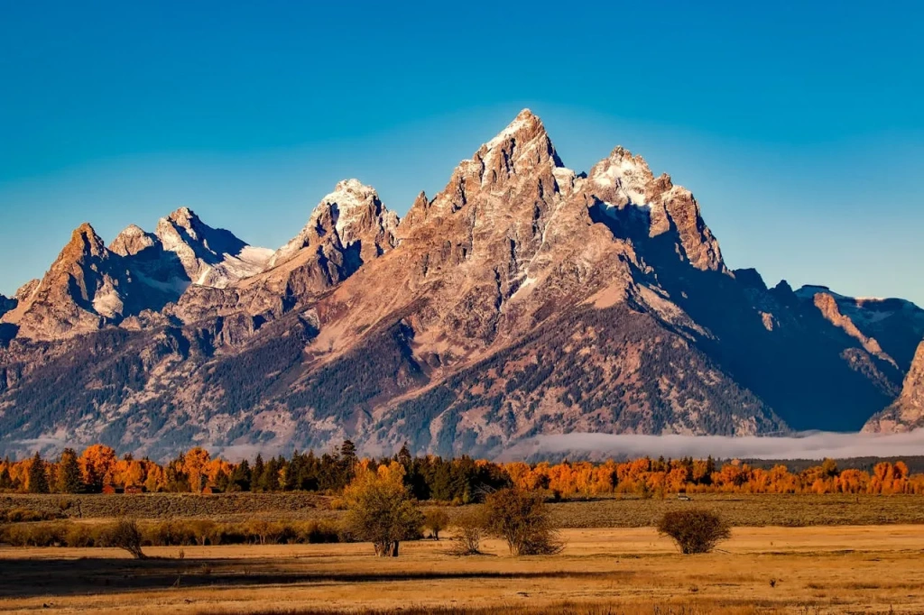
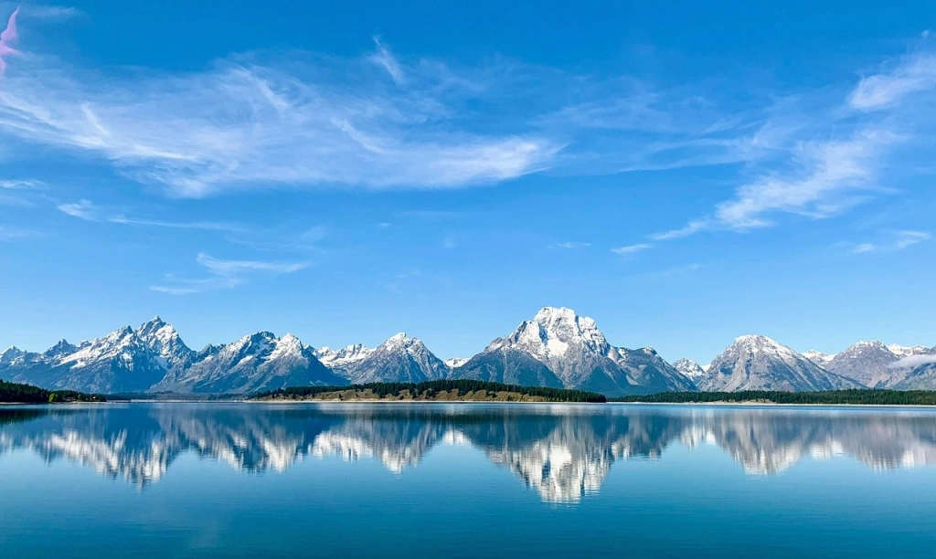
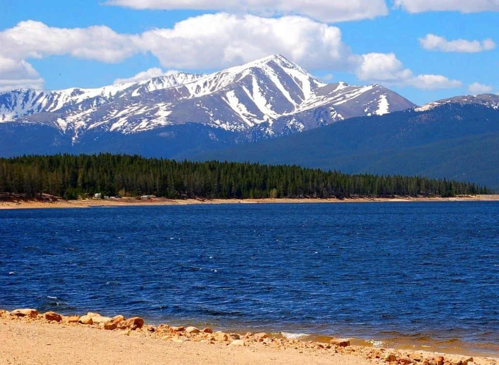
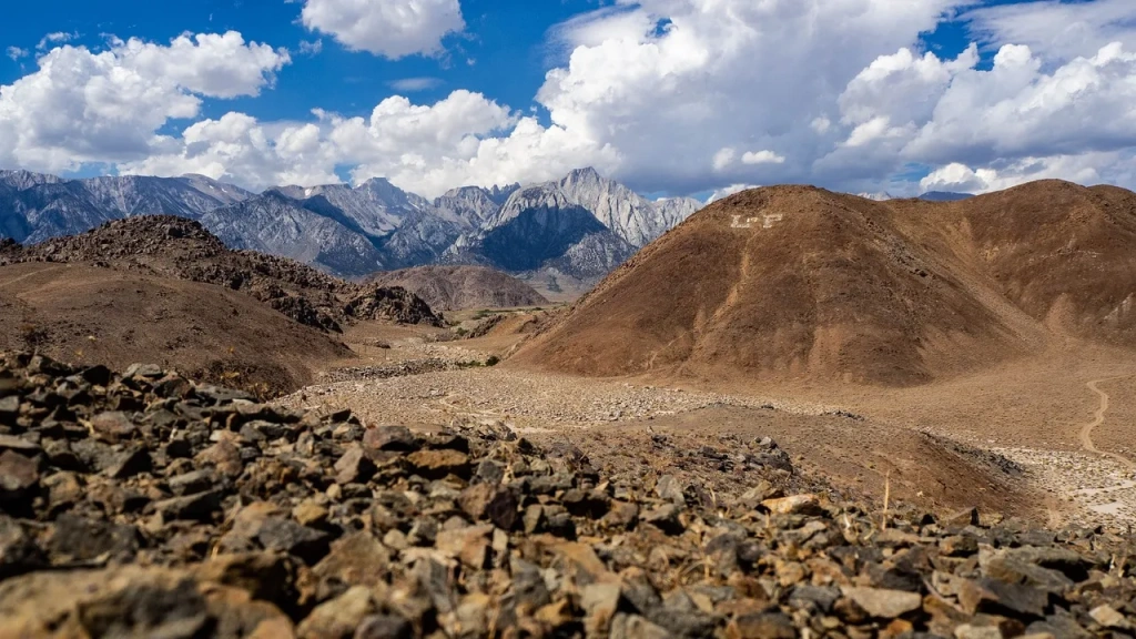
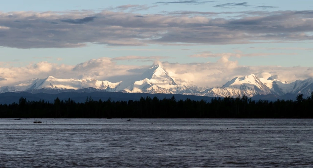
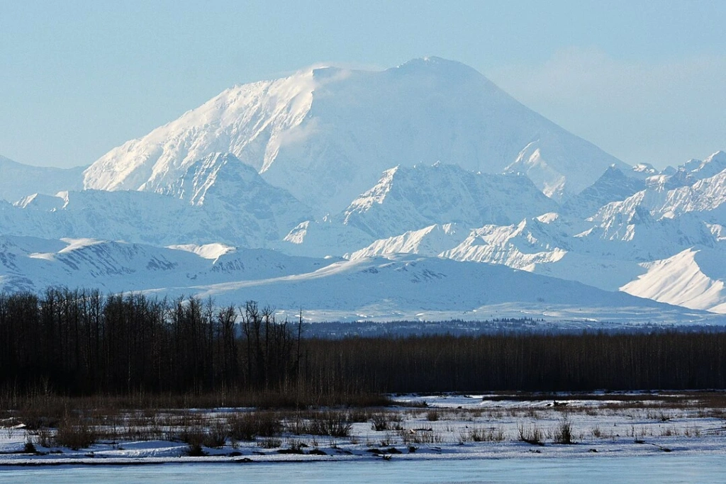
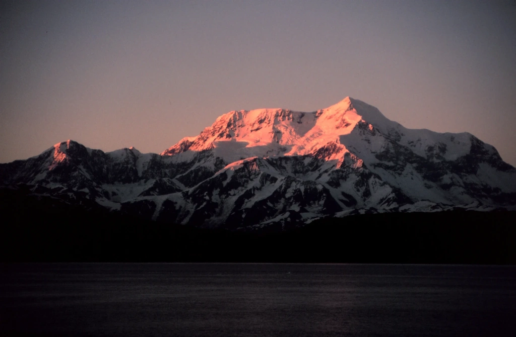
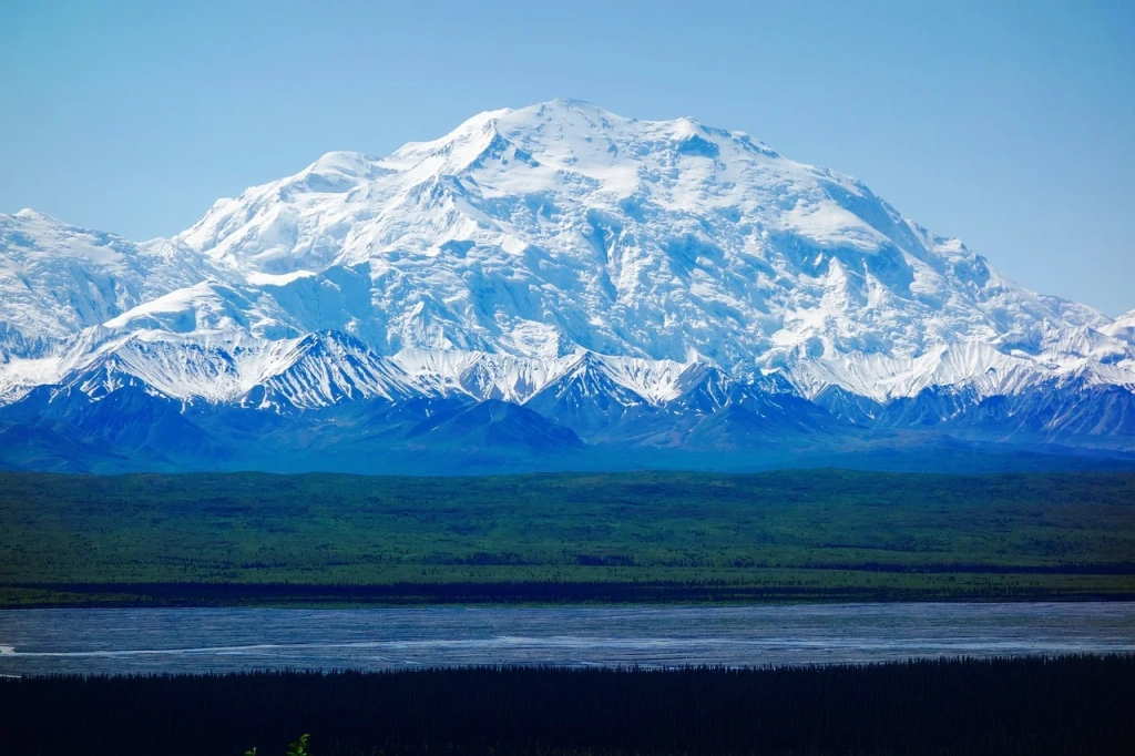
The United States is home to some of the world's most majestic mountains, offering thrilling adventures for outdoor enthusiasts. From the rugged wilderness of Mount Denali, North America's tallest mountain, to the volcanic summits of Hawaii, these towering peaks attract climbers, hikers, and nature lovers with their awe-inspiring heights.
In this article, we'll explore the 10 highest mountains in the USA, highlighting the unique features, challenges, and beauty that make each peak a remarkable part of the American landscape.
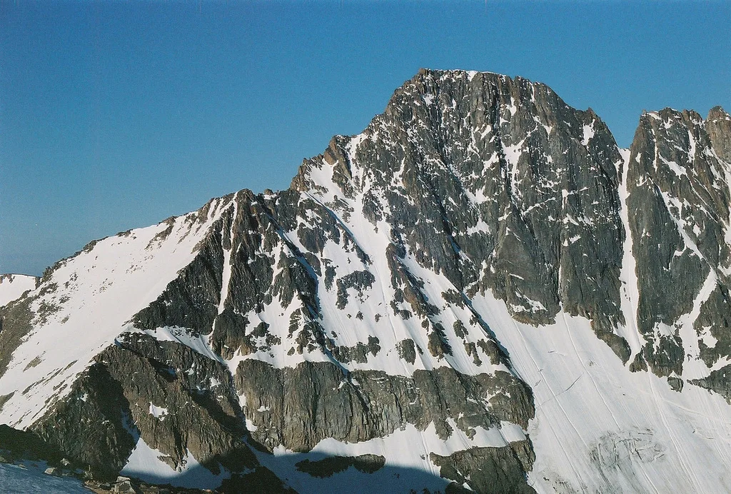
10. Granite Peak
State: Montana
Elevation: 3,903 meters (12,800 feet)
Difficulty: Grades 3 to 4.
Granite Peak ranks the tallest mountain in Montana and 10th in the country. Climbers consider it the second most challenging ascent in the USA after Denali in Alaska [more on Denali below].
The first attempt to reach the summit was made in 1898 by mining engineer James Kimball. However, impassable routes and bad weather thwarted his efforts, as well as those of others who tried after him. It wasn't until 1923, a full quarter-century later, that a group of four climbers ascended the peak.
According to Peakbagger, one of the oldest electronic databases, manually maintained since 1987, there have been 402 successful ascents of Granite Peak over the past 100 years. Even today, the climb remains as thrilling and nearly as difficult as it was at the turn of the century.
The two routes to the summit—the East and West Rosebud trails—cover 33-40 kilometers (20-25 miles). Both are rated as Grades 3 to 4 and are best suited for experienced hikers in good physical shape.
The West Rosebud Trail is the most popular and slightly easier route, passing through Mystic Lake and Huckleberry Creek. The East Rosebud Trail is more scenic yet harder, featuring steep ascents through meadows, past waterfalls, and up to the Froze-to-Death Plateau. Both routes lead to a base camp at the foot of Tempest Mountain, a starting point for the climb to Granite Peak.
Important Note: Although the ascent to the summit is typically done without ropes, they may be needed for the descent on the steep rocky slope.
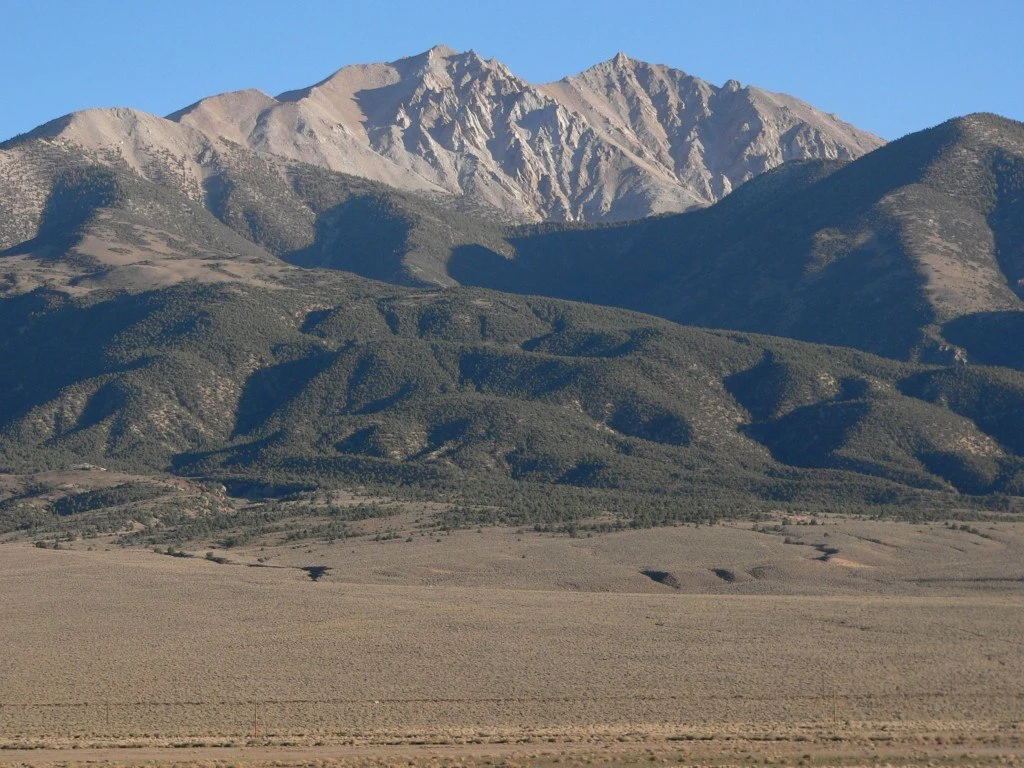
9. Boundary Peak
State: Nevada
Elevation: 4,007 meters (13,150 feet)
Difficulty: Grade 2.
This peak is the highest point in Nevada—a fact that was confirmed only after nearly 100 years of disputes, which were finally resolved by the Supreme Court. Its name comes from its location: it sits on the border with California and is essentially a ridge extending from Montgomery Mountain in that state.
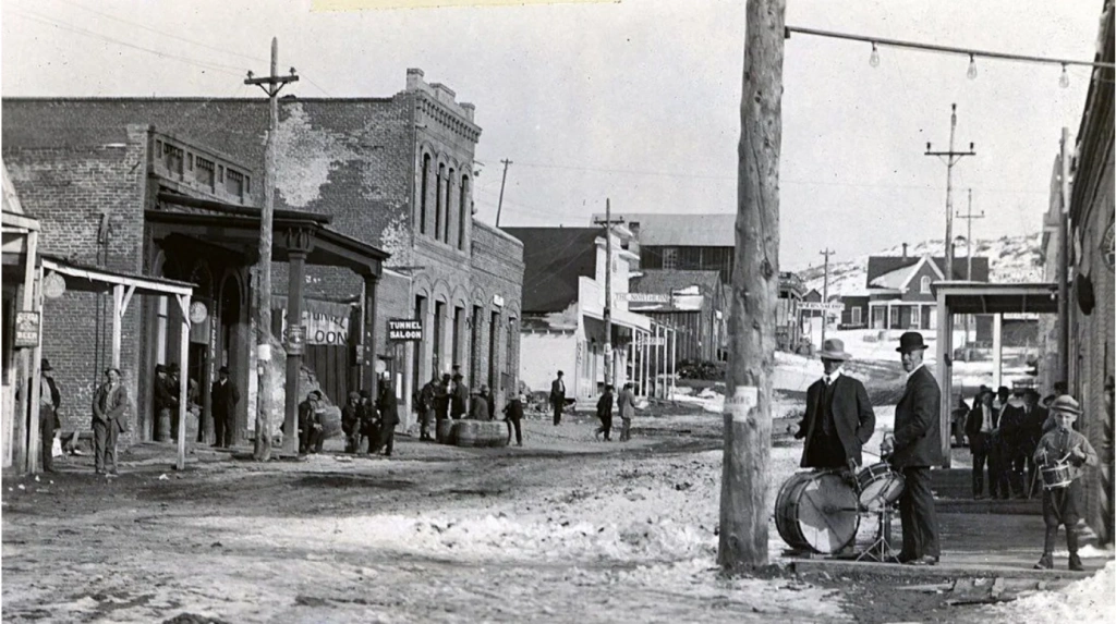
The history of the dispute began in 1863 when two sets of officials—one from California and one from Nevada—were elected in what is now the ghost town of Aurora. The confusion stemmed from the unclear border between the two states, leaving it uncertain which state Aurora belonged to. Both sides were reluctant to give up control because the area was rich in gold.
The dispute over the border continued until 1977 when California sued Nevada to settle the issue. By then, Aurora had long since disappeared; the town had become deserted and fallen into ruins after gold mining stopped. However, the outcome of the lawsuit was crucial for other places. For instance, a casino near Lake Tahoe could have been declared illegal if the court had decided that the area was part of California. Fortunately for its owners, this didn’t happen. Both the mountain and the ghost town of Aurora were confirmed to be in Nevada.
Today, Border Peak is a popular destination for mountain tourism. The time required for the ascent depends on the climber's experience, fitness level, weather conditions, and the chosen route. There are two options: the standard (Queen Mine Road) and the alternative (Kennedy Meadows). The first route covers 13-16 kilometers (8-10 miles) and passes through rocky sections that can be navigated without mountaineering equipment. The entire climb, including the descent, takes 8-10 hours.
The alternative route is suited for more experienced climbers and requires navigation skills. The trail crosses boulder fields and steep rocky sections, where no special equipment is needed. The journey to the summit may take up to two days. Climbers are advised to bring plenty of water, a map, and a GPS tracker. Otherwise, the trip could turn into “hot days and cold nights while waiting for an expensive rescue.”
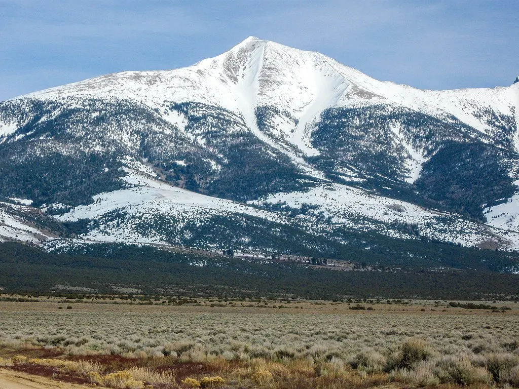
8. Wheeler Peak
State: New Mexico
Elevation: 4,013 meters (13,167 feet)
Difficulty: Grade 2.
The mountain is located in the Sangre de Cristo range and is part of the Carson National Forest. The nearest town is Taos, and the lower slopes of the peak host a ski resort of the same name. The climb to the summit of Wheeler Peak takes up to six hours.
This mountain is at least the sixth in the United States named after Major . For ten years, he led expeditions of surveyors and naturalists who gathered geological, biological, and topographical data in New Mexico and other Southwestern states.
There is no need for mountaineering equipment to reach the summit, but climbers should be prepared for a challenging trail. On average, the hike to the peak takes between three to six hours, depending on the route. There are two options: a gradual but longer route of 12 kilometers (7.5 miles), and a steeper but shorter route of 5.6 kilometers (3.5 miles). Successful climbers are rewarded with a stunning view, just as Wheeler and his team enjoyed nearly 150 years ago.
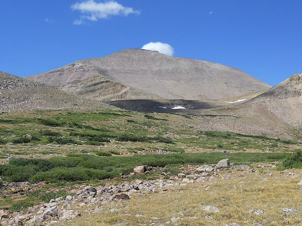
7. Kings Peak
State: Utah
Elevation: 4,123 meters (13,525 feet)
Difficulty: Grades 1 to 2.
The mountain is named after Clarence King, the first director of the United States Geological Survey. The climb is worth it just for the breathtaking view of the desert, dense forests, and other peaks in Utah rising over 3,000 meters (9,845 feet).
The standard route is a long but gradual 25-kilometer (15.5-mile) trail, starting from Henry's Fork Campground and leading to the base of the summit at Gunsight Pass. At this point, hikers choose their final route: either the long and leisurely path along the southern slope followed by an ascent to the summit, or the quicker but more challenging climb up the steep, slatey slope.
The hike to the peak takes between two to four days, depending on the climbers' preferences. For stunning views, it is recommended to camp near the mountain lakes that the trails pass by.
6. Mauna Kea
State: Hawaii
Elevation: 4,207 meters (13,805 feet)
Difficulty: Grade 1.
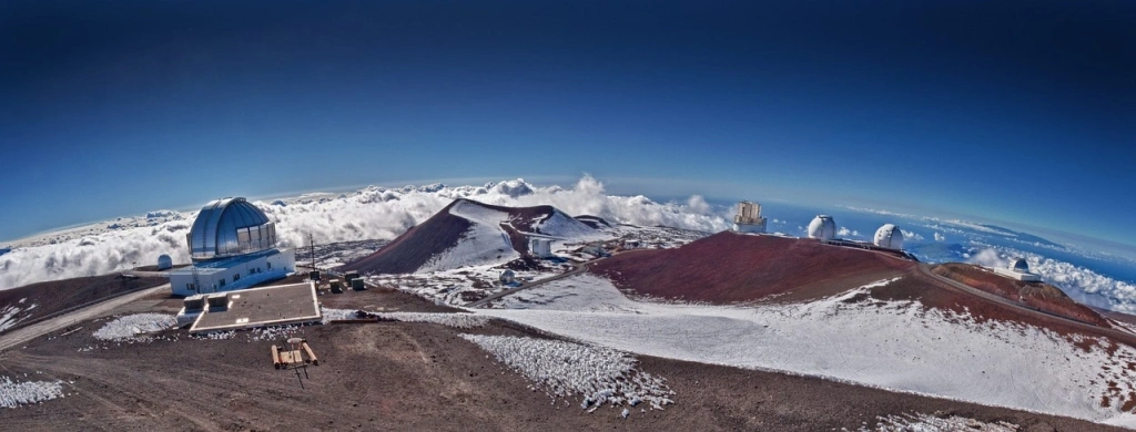
This volcanic mountain is technically the highest on the planet, surpassing Everest by nearly 500 meters (1,640 feet). The summit can be reached by car in just a few hours without any life-threatening risks. The secret is that you start the ascent from roughly the midpoint because the rest of Mauna Kea lies underwater. Above sea level, it rises to a modest 4,207 meters (13,805 feet) out of its total height of 9,330 meters (30,610 feet).
The vast majority of tourists visit Mauna Kea for its spectacular view of fiery sunsets above the clouds and the Milky Way. Mauna Kea is especially renowned for housing the largest astronomical observatory in the world, which is off-limits to the public after 7 PM due to scientific research. After sunset, visitors are encouraged to descend 1,500 meters to the Visitor Center, which offers an equally impressive view. Additionally, it is warmer there and features small telescopes for use.
Professional mountaineers rarely consider Mauna Kea a serious climbing objective, as most of the route to the summit follows a paved road. The mountain is more suited for beginners looking to test their physical fitness and enjoy the views. The main hazards are the high altitude and the misjudgment of the hike's duration, including the time required for the descent. The trip from the Visitor Center to the peak and back typically takes 8-10 hours.
Moreover, tourists are asked to finish their ascent at the scientific station, several dozen meters from the actual peak. Since the settlement of the state, the natives regarded volcanic summits as sacred, referring to them as 'the realm of the gods.’ Only select members of tribes were permitted to tread these lands. Today, this rule has become more of a polite recommendation for tourists, but it remains a highly sensitive issue for the indigenous people.
5. Gannett Peak
State: Wyoming
Elevation: 4,210 meters (13,810 feet)
Difficulty: Grade 3.
Gannett Peak, named after American geographer Henry Gannett, opens the top five highest points in the U.S. The mountain is part of the Wind River Range in Bridger-Teton National Forest and is located in a remote and rugged area. This, combined with its height and extreme weather conditions, makes the summit one of the most difficult to access in the United States.
The ascent is recommended only for experienced climbers with great stamina. The route to the summit covers more than 60 kilometers (37 miles) round trip, including nearly 2,700 meters (8,860 feet) of steep climbing.
Novice climbers are strongly advised to hire a local guide who is well-acquainted with the terrain and has experience climbing this peak. The difficulty and danger of the route stem from the risk of encountering wildlife, such as bears, and the potential for falling from rocky slopes. Over the past 30 years, there have been numerous fatal accidents reported.
4. Mount Rainier
State: Washington
Elevation: 4,392 meters (14,410 feet)
Difficulty: Grades 2 to 4.
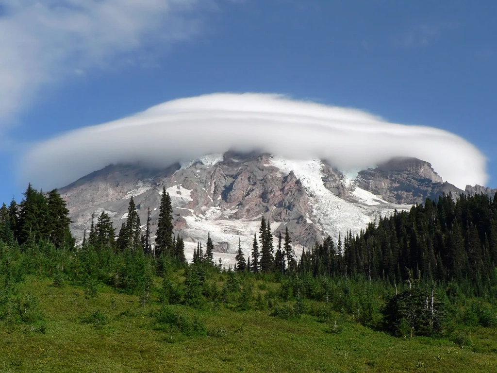
Mount Rainier is a large, active volcano and is considered one of the most dangerous in the world because of the strong chance of an eruption happening soon. Since the mountain is covered by glaciers, an eruption would trigger powerful lahars (volcanic mudflows) that could rush into river valleys and affect communities where around 80,000 people live.
All routes to the summit require technical climbing skills and equipment. Approximately 85% of climbers choose either the Emmons-Winthrop Glacier (Grade 2, 15-16 kilometers (9-10 miles), 2-3 days) or Disappointment Cleaver (Grade 2-3, 13-15 kilometers (8-9 miles), 1-3 days).
The most challenging route is Liberty Ridge (Grade 4, 16-19 kilometers (10-12 miles), 3-4 days), which traverses the center of the North Face and the active Carbon Glacier. Historically, it had only a 2% success rate. Today, the success rate for all three routes exceeds 50%.
Inexperienced hikers are advised to stick to perimeter trails around the mountain, such as the Emmons Vista Overlook or Palisades Lake. All these trails start from the Sunrise Visitor Center.
3. Rocky Mountains
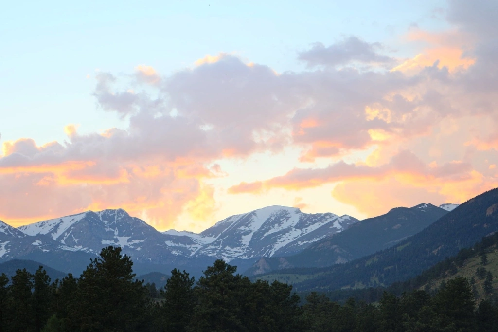
This is the largest mountain range in North America, stretching nearly 5,000 kilometers (3,106 miles) from western Canada to New Mexico in the southwestern United States. The most elevated part of the range is located in Colorado.
Mount Harvard
Elevation: 4,395 meters (14,420 feet)
Difficulty: Grade 2.
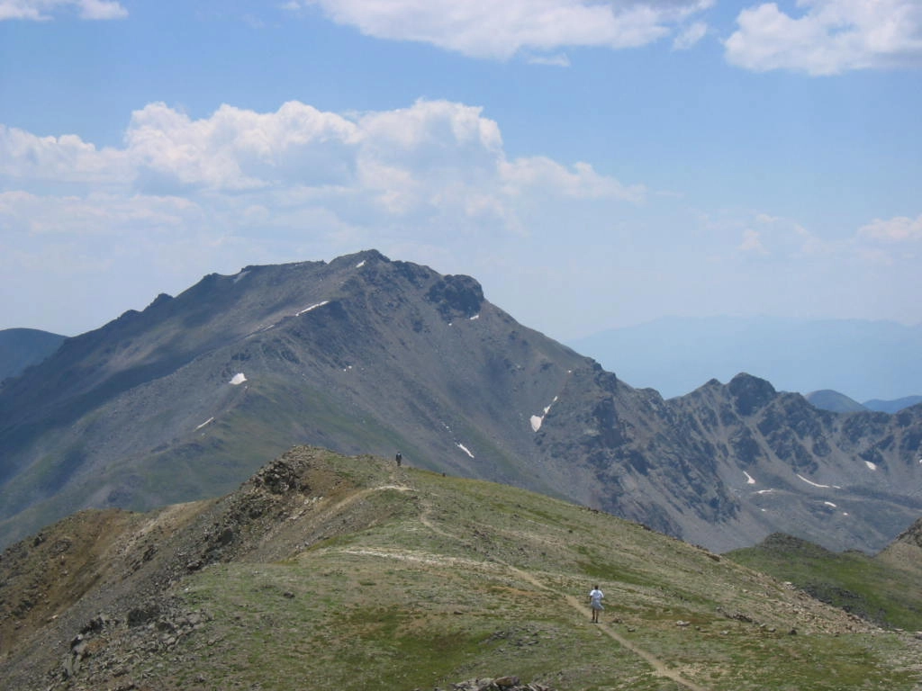
The third highest point in the Rocky Mountains, Mount Harvard is named after Harvard University, whose students were the first to summit in 1869.
The most common routes are the South Slopes and West Slopes, both of similar difficulty, with lengths of 11 kilometers (7 miles) and 9 kilometers (5.6 miles), respectively.
The round-trip journey typically takes between 8 to 10 hours. The most challenging section is the final 1.5 kilometers (1 mile) because of the steep ascent. In return, climbers are rewarded with breathtaking panoramic views of the mountain range.
Mount Massive
Elevation: 4,398 meters (14,427 feet)
Difficulty: Grades 1 to 2.
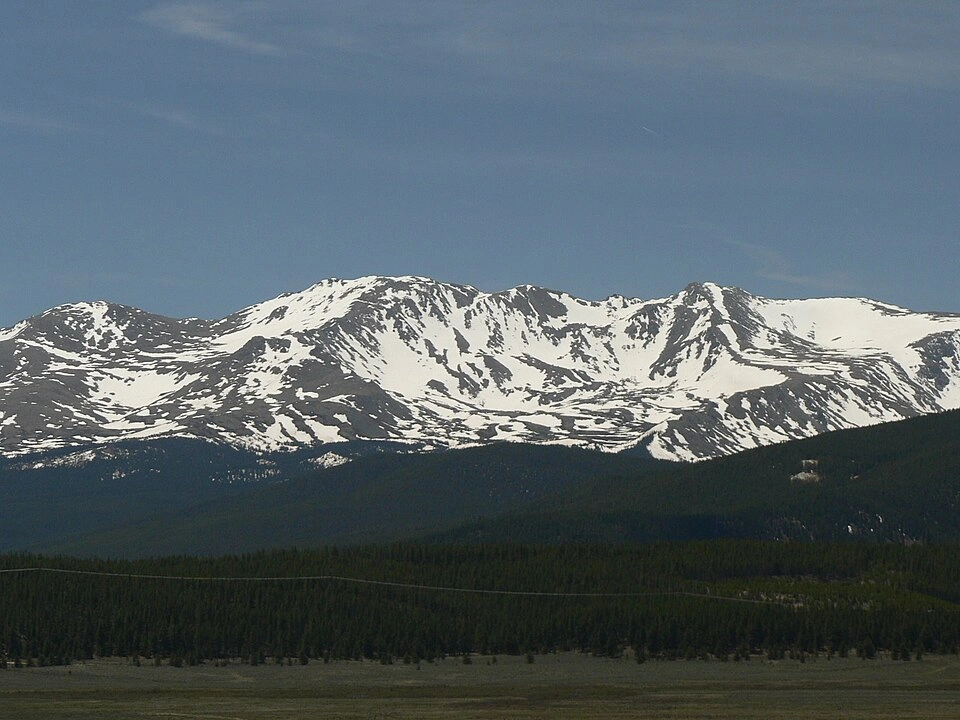
The second-highest peak in the Rocky Mountains and the third-highest in the continental United States. The mountain's name derives from its impressive size—its area spans over 340 square miles, with five distinct summits, each rising more than 4,000 meters (13,123 feet) above sea level.
Climbers can reach the summit via two standard routes: the Eastern Slope (20 kilometers or 12.5 miles round trip, 7-9 hours) and the Southwest Route (12 kilometers or 7.5 miles round trip, 5-7 hours). The Eastern Slope route is longer, yet slightly easier due to a more gradual ascent. Experienced mountaineers, however, recommend choosing the Southwest Route for its more scenic views, particularly during the descent.
Mount Elbert
Elevation: 4,400 meters (14,440 feet)
Difficulty: Grades 1 to 2.
Elbert is the highest peak in the Rocky Mountains, the highest in Colorado, and the second-highest in the continental United States. Three main routes lead to the summit: the South and North routes, and the Black Cloud trail.
The South Route to the summit is 9 kilometers (5.5 miles) one way, while the North Route is 7.5 kilometers (4.5 miles) one way. Both are classified as Grade 1. The total time for the hike, including the descent, typically takes 7 hours or less.
The Black Cloud Trail covers 17.5 kilometers (10.8 miles) and is a slightly more strenuous and challenging Grade 2 route. However, it is still suitable for less experienced climbers. Due to that, Elbert is often referred to as the ‘gentle giant’ and is frequently compared to Mount Kilimanjaro. Despite its impressive elevation of 5,895 meters (19,340 feet), nearly everybody can reach the summit of this African giant.
2. Mount Whitney
State: California
Elevation: 4,420 meters (14,505 feet)
Difficulty: Grades 1 to 3.
California Mount Whitney is the highest point in the continental United States. Despite this impressive status, the first ascent of the summit in 1873 was made not by fearless, experienced climbers, but by three fishermen from the nearby town of Lone Pine.
Today, climbers have several routes to choose from when climbing Mount Whitney. The most popular are the Whitney Trail and the Mountaineer Route. The Mount Whitney Trail is ideal for beginners since it doesn’t require advanced technical skills. On the other hand, the Mountaineer Route is a Grade 3 climb, featuring steep and vertical sections, so it’s better suited for more experienced climbers.
In both cases, climbers should be mindful of the risks of rockfalls and altitude sickness. Between a single-day and a two-day climb, the two-day option is recommended. It allows for better acclimatization at altitude and offers the chance to enjoy stunning views.
1. Alaska Range
The Alaska Range is one of the world's highest mountain ranges, after the Himalayas and the Andes, and is home to the highest mountains in the USA. This state features remote and pristine wilderness areas, offering a unique and unparalleled experience for travelers and nature enthusiasts.
Mount Foraker
Height: 5,305 meters (17,405 feet)
Difficulty: Grades 3 to 6.
The third-highest mountain in the USA features extremely challenging routes and a pyramid-shaped peak, which presents a significant challenge for experienced climbers. The first ascent was made in August 1934, but the more notable climb was by Michael Kennedy and George Lowe in 1977 via the ‘Infinite Spur’ on the South Face of the mountain. This route is rated as the highest difficulty level, Grade 6, and involves navigating vertical rock and ice walls.
Today, the most popular route to the summit is via the Southeast Ridge of the mountain. This route is less technical (Grade 3) but prone to avalanches. Combined with sharp temperature fluctuations, strong winds, and snowstorms, it makes the route barely passable.
Mount Saint Elias
Height: 5,490 meters (18,008 feet)
Difficulty: Grade 5.
Many peaks in the Saint Elias Mountains rise above 5,200 meters (17,000 feet), including the famous Mount Saint Elias. It straddles the border between Alaska and the Yukon Territory in Canada, and it’s the second-highest mountain on both sides of the border. The first ascent was made in 1897 by an Italian expedition led by Prince Luigi Amedeo.
The slopes of Mount Saint Elias are extremely steep. According to climbers, if you reach the summit from the side of the channel and look down, you can see the entire 5.5 kilometers (3.4 miles) to the base. The mountain is also known for its icy peaks, harsh weather, and remote location, which makes having guides essential for climbers. Access to the mountain requires traveling by boat or small plane.
Mount Saint Elias is seldom climbed today, despite its impressive height.
Denali (Mount McKinley), the tallest mountain in the USA
Height: 6,190 meters (20,310 feet)
Difficulty: Grades 3 to 4.
Denali is the absolute leader of our ranking. The highest mountain in the USA and North America, it ranks third in the ‘Seven Summits’ list of the highest peaks on seven continents. The mount is located in the central part of the Denali National Park and Preserve, which spans 2.4 million hectares (5.9 million acres).
The word ‘denali’ in the language of the native Alaskans means ‘the tall one.’ This name was used for many generations until miner William A. Dickey began referring to it as Mount McKinley in 1896, in honor of the U.S. presidential candidate. After his election victory, he was assassinated, and 16 years later, Congress officially named the highest mountain in the USA after him.
In 1975, efforts began to restore the mountain’s historical name, but politicians from Ohio, William McKinley's home state, blocked the move. It wasn't until August 2015 that President Barack Obama and U.S. Secretary of the Interior Sally Jewell restored the mountain's historic name.
“The mountain has been known as Denali for generations. With our own sense of reverence for this place, we are officially renaming the mountain Denali in recognition of the traditions of Alaska Natives,” the official release from the Department of the Interior stated.
Despite this, two of Alaska’s mountain peaks are named after a leader—though not an American one. The North and South peaks are named in honor of Winston Churchill, the Prime Minister of the United Kingdom.
Besides being one of the world's tallest mountains, Denali is one of the most challenging to climb due to its steep ascents and severe weather conditions. Due to the mount's proximity to the Arctic Circle, the temperature at its summit can drop to -60°C (-76°F), making it colder than the much higher Everest.
Despite its challenges, Denali is less dangerous for climbing than it might appear. The fatality rate has varied between 0.3% and 8% at different times and under different estimates. In comparison, Annapurna, the most dangerous mountain in the world, has a fatality rate exceeding 27%.
Climbers taking on this northern giant have several routes of varying difficulty to choose from. These include the West Buttress, which involves climbing through glacier valleys; the more technical West Ridge, featuring a five-kilometer ridge and 55-degree walls; and the Muldrow Route, a demanding 140-kilometer trek starting from the nearest town and navigating through rivers, passes, valleys, and glaciers. In all three cases, the ascent can take up to three weeks.
In the vicinity of the mountain, several safe trails are available for outdoor enthusiasts. These trails offer impressive views of Denali, the Alaska Range, mountain lakes, and the dense forests of Denali National Park.


